For stage-by-stage planning, see our companion guide, How to choose a Lycian Way section and plan reliable stages.
Where is the Lycian Way?
The Lycian Way follows the coast of ancient Lycia, the rugged peninsula between the Gulf of Fethiye and the Gulf of Antalya in south-west Türkiye. It was researched and waymarked by Kate Clow and opened in 1999, and the Culture Routes Society describes it as Türkiye's first long-distance walking route. It follows Roman roads, old footpaths and mule trails, often stony underfoot, and climbs repeatedly between the shore and the mountains. Along the way it passes about 25 remote historical sites.
How long is it?
You will see two figures. The official GoTürkiye site gives 540 km. The Culture Routes Society now describes a 760 km, 35-day route, after extensions and reroutings, with the end point moved to Geyikbayırı in the hills west of Antalya. The route is still changing: the Society publishes regular route updates and diversions, so the map you use matters more than the headline number.
Start and finish
The Ministry of Culture and Tourism's official Lycian Way site places the western start just south of Ovacık, the village above Ölüdeniz. The eastern end depends on the variant you follow. The Ministry's map series ends at Hisarçandır. The Culture Routes Society names Geyikbayırı as the end point, and has also waymarked an alternative last section via the Üçsöğüt plateau, Gedeller and Sarısu, which finishes at a bus stop with access to the city centre, the bus station and the airport.
The route on a map, in words
Picture the route as three stretches along a coast that bulges south into the Mediterranean:
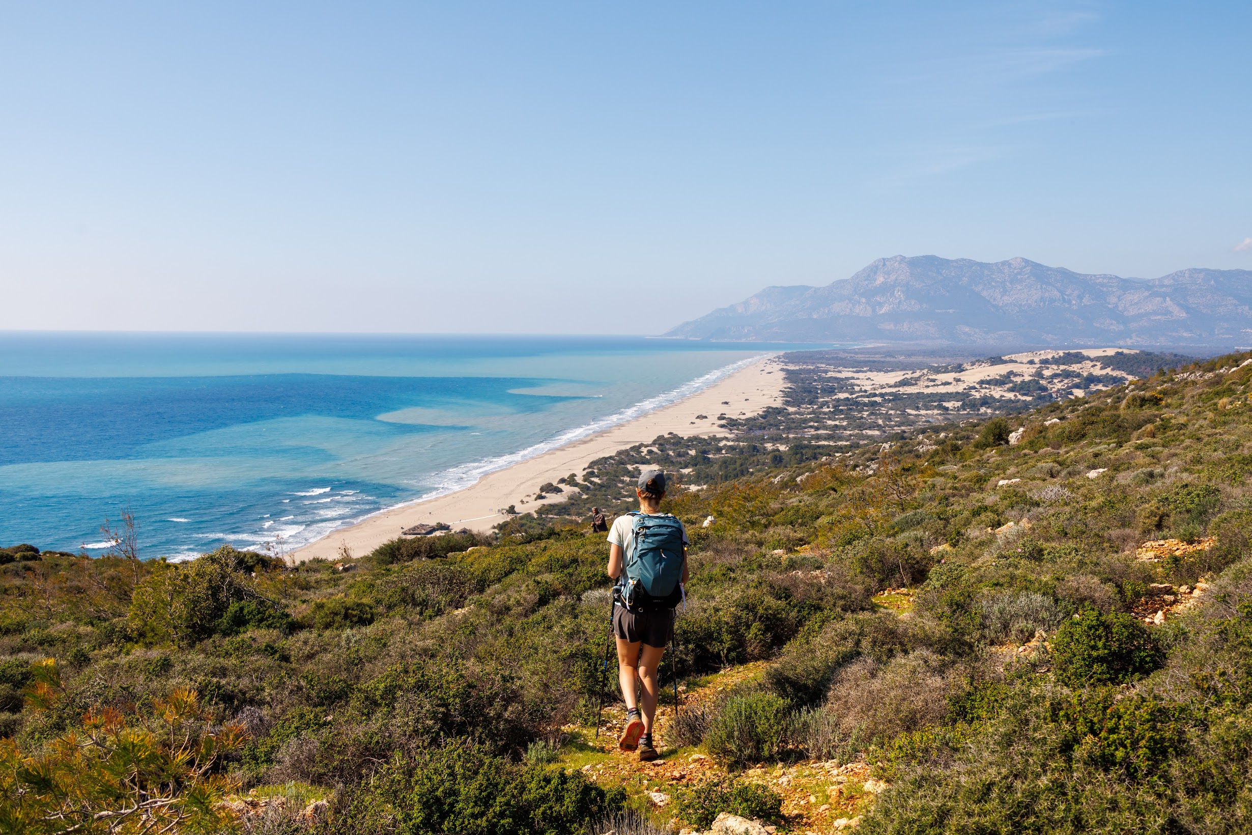
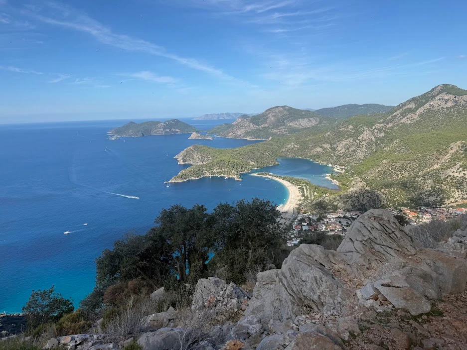
- West (Ölüdeniz to Patara). From Ovacık the trail climbs above the Ölüdeniz lagoon, then follows cliff paths past Faralya, above Butterfly Valley, and Kabak. It heads inland to the high villages of Alınca and Gey, past the ruins of Sidyma, and comes down through the Xanthos valley to Letoon and the long beach at Patara.
- Central (Kalkan to Finike). East of Patara the route goes through Kalkan and Kaş, then along the rocky coast and villages around Üçağız, facing the Kekova islands and the sunken city, before reaching Andriake and Demre (ancient Myra) and heading towards Finike.
- East (Finike to Antalya). After Finike and Kumluca, the trail reaches Adrasan and Cape Gelidonya with its lighthouse, crosses Mount Musa to Olympos and Çıralı, passes the Chimaera flames, then climbs through the forests below Mount Tahtalı to Beycik. From there it goes round by Phaselis and the Göynük canyon to the finish in the hills above Antalya.
The Ministry divides the route into 31 numbered map sheets, from Ovacık – Kirme (sheet 1) to Sarıçınar – Hisarçandır (sheet 31). The table below groups them into the sections most walkers actually plan around.
Lycian Way sections at a glance
Distances and walking days change with reroutings, and published figures do not agree, so this table leaves them out. Use it to choose a section, then check daily figures in the current guidebook or in a trip programme.
| Section | From – To (Ministry map sheets) | Highlights | Terrain and practical notes | Best for |
|---|---|---|---|---|
| West coast | Ovacık/Ölüdeniz – Faralya – Kabak (sheets 1–2) | Views over the Ölüdeniz lagoon, Butterfly Valley from above, coves for swimming | Cliff-edge paths with long descents; stony underfoot | A first taste of the route; self-guided walkers |
| Western heights | Kabak – Alınca – Sidyma – Gey – Letoon – Patara (sheets 2–7) | Mountain villages, the ruins of Sidyma, Letoon, Patara's beach and ancient city | A sustained climb to Alınca, then ridge villages and a descent to the Xanthos plain | Walkers who want space and village life |
| Kalkan to Kaş | Kalkan – Bezirgan – Kaş (sheets 8–11) | Upland villages above the coast, the ruins of Phellos, arrival in Kaş | Some asphalt between Akbel and Bezirgan; paths through scrub, with marks partly erased in places. After Kalkan, drinking water is available at the Bezirgan fountains | Walkers based in Kalkan or Kaş |
| Kekova coast | Kaş – Boğazcık – Üçağız – Andriake/Demre (sheets 11–14) | Kekova bay and the sunken city, Simena castle, Aperlai | Rocky limestone and scrub; from Kaş towards Limanağzı there is no village for supplies until Boğazcık–Kılınçlı | Walking combined with a boat day |
| Demre to Kumluca | Demre – Finike – Kumluca (sheets 15–19) | Myra, the upland paths and ruins above Demre | Mountain variants above Demre; after Finike the route follows the beach for about 20 km, and Finike is the best place for food, water and a bed | Experienced walkers doing longer traverses |
| Olympos coast | Mavikent – Karaöz – Adrasan – Gelidonya – Olympos – Çıralı (sheets 20–24) | Cape Gelidonya lighthouse, ancient Olympos, the Chimaera flames | Forested ridges between bays; coastal settlements on this stretch are holiday villages that may be empty in winter | A varied week that mixes culture and swimming |
| Tahtalı and the Beydağları | Ulupınar – Beycik – Phaselis – Göynük – Hisarçandır/Geyikbayırı (sheets 25–31) | Forest below Mount Tahtalı, Phaselis, the Göynük canyon | The most mountainous part, with long climbs, including the pass west of Tahtalı above Yukarı Beycik | Fit walkers who like mountains more than beaches |
Sheet ranges follow the titles on the Ministry's official map list. Where sheets overlap between sections, the boundary is ours. Terrain notes are taken from the Ministry's sheet descriptions and the Culture Routes Society's route updates.
Best sections if you have one week
A week is enough to get to know one part of the route well. It is not enough to walk all of it. Here are three ways to spend it, each based on a programme we run.
1. The western Lycian Way, walked independently
Arrive in Fethiye, then walk Ölüdeniz – Faralya, Faralya – Kabak, Kabak – Alınca and Alınca – Gey, and finish with a day at Patara. The coastal days come first, the climb to Alınca is the hardest part, and after that you walk along ridge-top villages. This is the sequence of our self-guided Lycian Way, with booked guesthouses, a route book, GPS tracks and daily luggage transfers.
2. The eastern forests and coast, from Antalya
East of Kekova the Lycian Way turns wilder and more mountainous. Our 13-day Lycian Way from Antalya to Kekova shows what one week of that can cover. The walking days climb the Göynük canyon (up to +1,110 m in a day), cross towards Beycik on the slopes of Tahtalı, and go down to Maden bay and Çıralı. A visit to the Chimaera follows, then the Mount Musa crossing to Adrasan and the walk to the Gelidonya lighthouse. It is demanding: a coastal route is not an easy one.
3. Highlights from both ends
If you would rather see contrasts than walk one continuous line, our eight-day Chimaera, Kekova & Termessos programme links selected walks by transfer: the Chimaera and Maden bay (with a boat return), Andriake to Simena, Aperlai, then the stages around Faralya and the descent to Ölüdeniz, and finally the ancient city of Termessos. It is a selection of walks rather than a continuous route.
Where to start: Ölüdeniz or Antalya?
Start at Ölüdeniz (Fethiye) if… you want to begin where the route officially begins, walk west to east, and start with the cliff-top coast of Faralya and Kabak. The Culture Routes Society puts the start at Ölüdeniz about two hours from Dalaman airport.
Start from Antalya if… you want quicker access from the city and its airport, and prefer forest, mountains and Lycian ruins to lagoons. The Culture Routes Society notes that city buses run from Antalya's intercity bus station to Geyikbayırı several times a day, and that the Sarısu variant ends near a bus stop with access to the city and the airport.
Kaş and Kalkan make comfortable bases in the middle of the route. From them you can walk the upland paths towards Bezirgan or continue east along the coast towards Üçağız and Kekova.
When to walk
The Culture Routes Society recommends spring and autumn, February to May or September to November, and says plainly that "summer in Lycia is too hot for long walks". December and January fall outside its recommended seasons; they are also the wettest months, with Antalya averaging 271.7 mm of rain in December and 210.6 mm in January (official 1991–2020 normals of the Turkish State Meteorological Service, MGM).
Our own Lycian trips run in spring and autumn, not in summer or winter; ask us for the current departure calendar. In autumn, the sea is at its warmest of the walking year: MGM's long-term average for Türkiye's Mediterranean coast is 27.0 °C in September and 24.6 °C in October.
There is one more reason to check the calendar. In 2026, Antalya and Muğla provinces restricted entry to forests until 31 October to prevent wildfires, with exceptions that differ by province. For month-by-month temperatures, rain and these forest rules, see when to go hiking in Türkiye.
Maps, waymarks and apps
- Waymarks. The main route is marked in red and white. Linked local trails, such as those run by the Kemer and Konyaaltı municipalities, may carry red-and-yellow marks. The Ministry's site warns that marks are faint or missing where new roads have been built.
- Official maps. The Culture Routes Society publishes three walking maps at about 1:70,000 that show the Lycian Way and local walks, and a new English guidebook released in December 2022. Buyers of the book can ask for the latest GPX or KML tracks. The Ministry offers its own 31-sheet map set on its Lycian Way site.
- Apps. The Society keeps the route up to date on OpenStreetMap and recommends OsmAnd; it describes Hiiker as almost correct. It lists several popular apps whose tracks do not show the latest state of the trail.
- False waymarks. The Society has reported misleading marks on the route, for example between Kaş and Boğazcık, that lead walkers towards private businesses. Where your map and the marks disagree, follow the map.
Guided or self-guided?
Both work on the Lycian Way; the question is how much you want to organise yourself.
- Self-guided suits confident walkers who are happy to navigate with a route book and GPS tracks. On our self-guided Lycian Way, guesthouses are booked stage by stage and your luggage moves each day. You still find the way yourself and deal with anything unexpected.
- Guided suits walkers who want the route, transfers, boat days and ancient sites taken care of, with someone who knows the terrain. See the Antalya to Kekova and Chimaera, Kekova & Termessos programmes. On the Antalya to Kekova trek, English-speaking groups walk with a Turkish guide who speaks English; for other programmes, ask us about the guide's languages when you enquire.
Our guide to guided or self-guided travel in Türkiye compares the two in more detail. To see the whole region, visit our Lycian Coast destination page or browse all hiking routes in Türkiye.
How this guide was prepared
This guide draws on the Culture Routes Society, the Ministry of Culture and Tourism's official Lycian Way site, GoTürkiye and the Turkish State Meteorological Service (MGM), listed above.
Route and stage details for our own trips come from the programmes Aventures Anatoliennes runs on the Lycian coast.
Last updated: 27 September 2026.