Do not begin with distance
Kilometres give only part of the picture. Fifteen kilometres on an easy trail can be very different from the same distance over scree and steep descents. Compare expected walking time, ascent and descent, then examine the terrain.
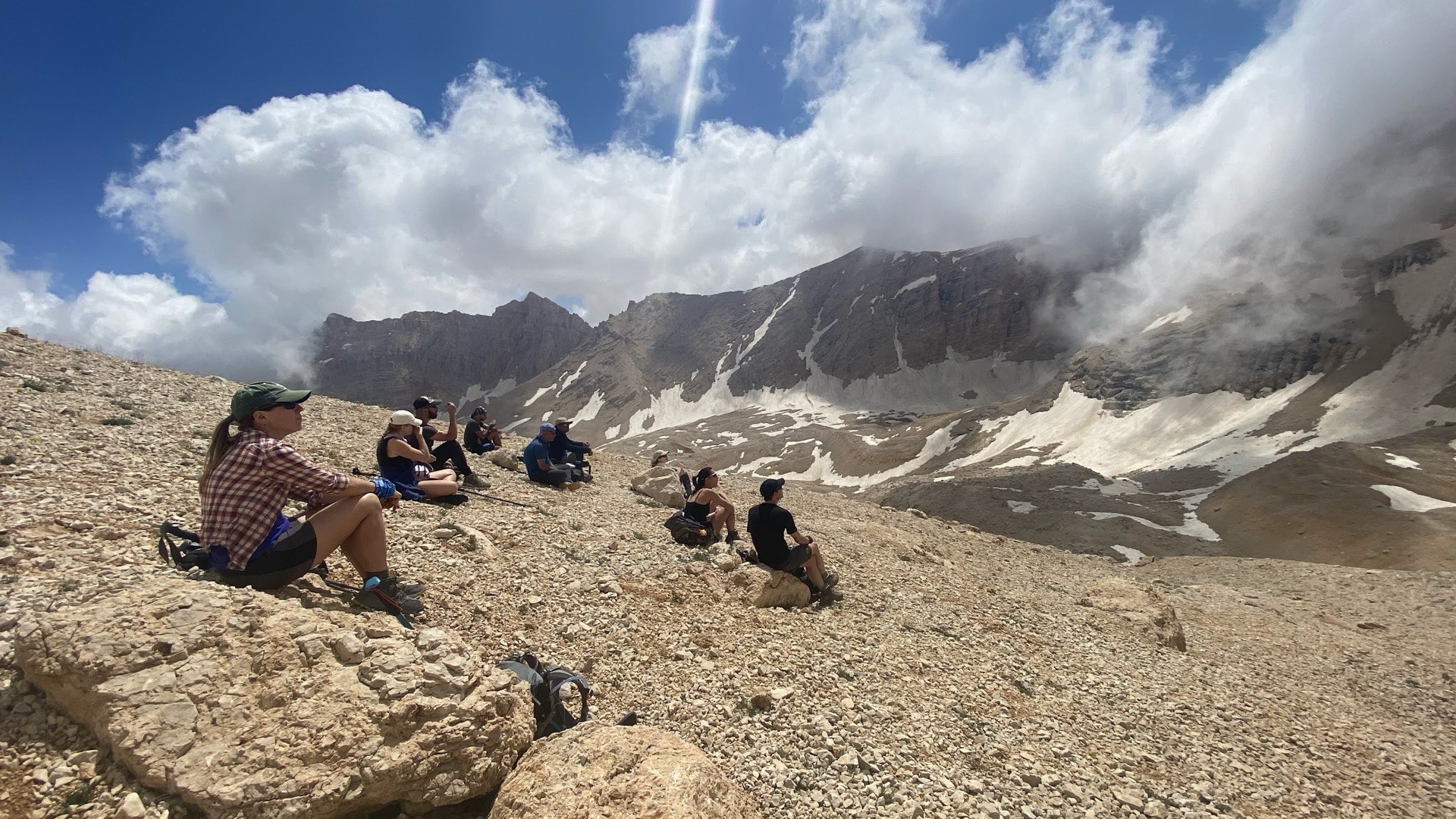
Two 5–6-hour days show why elevation matters. Day 4 of the Antalya–Kekova trip, starting from Göynük, lists 1,110 m of ascent and 475 m of descent, followed by a short transfer to Yaylakuzdere. Day 6 of the Cappadocia–Taurus combination, from Sokulupınar towards Emli Valley, lists 600 m up and 940 m down. For the first, prepare for sustained climbing; for the second, consider your confidence on a long descent. These programme figures alone cannot establish an official difficulty grade.
Separate three dimensions
FFRandonnée distinguishes physical effort, technical terrain difficulty and the risk arising from a fall or slip. Ask what supports each assessment. Then consider weather, the group’s experience and retreat options, which are part of UIAA route-planning guidance. A single overall grade cannot describe the whole day.
Factor in the group context
Altitude, heat, cold and pack weight change the effort. A manageable day can become hard when similar days are repeated. Compare the programme with recent outings, not a distant memory. The group must sustain a steady pace and recover between stages.
Assess remoteness and self-reliance
Locate water, resupply, transfers and exit points. The more a stage depends on your navigation and decisions, the more self-reliance it requires. Reduce the objective before changing conditions erode the safety margin.
Use this assessment when choosing equipment, reviewing seasonal conditions and deciding whether to take a guided trip.