Caria
To choose a trek in Caria, start from the stages actually planned around the Latmos mountains and Lake Bafa, then compare ascent, descent, walking time, waymarking, water and overnight stops. Our guided trip combines three walking days in the Latmos with a five-night hiking cruise from Fethiye: two different rhythms that are worth reading separately before you book.
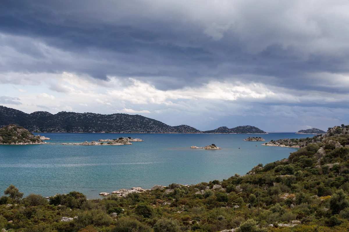
- The Carian Trail — Latmos & Cruise-Trek in the Mediterranean — A trek in the heart of the Latmos mountains, between Byzantine ruins and shepherd villages, extended by a hiking cruise along the turquoise coves of the Mediterranean aboard a gulet.
Decision guide · Caria and Latmos
Choose a section and a pace on the Carian Trail
The Carian Trail crosses quieter country than the Lycian coast, linking mountains, villages and ancient sites. These notes help you assess the Latmos section, the gulet section, the season and the effort before you request an itinerary.
Latmos, Lake Bafa and Herakleia: what the section covers
According to the Culture Routes Society, the Carian Trail is a waymarked long-distance path of about 800 km through the provinces of Muğla and Aydın. Mule paths, old stone-paved roads and village trails link the coast with a mountainous hinterland. Our trip does not attempt the whole route: it focuses on the foothills of the Latmos, the Beşparmak mountains, above Lake Bafa.
Lake Bafa fills what was once the Gulf of Latmos, cut off from the sea by silt from the Büyük Menderes river. It was declared a nature park in 1994, and its islands carry remains of Byzantine fortifications and monasteries. On its shore, the village of Kapıkırı sits within ancient Herakleia under Latmos: Hellenistic walls about 6.5 km long with 65 towers, a temple of Athena, an agora, a theatre and a sanctuary of Endymion, as described by the Turkish Ministry of Culture and Tourism’s culture portal.
The Latmos rock paintings, discovered in 1994 by the archaeologist Anneliese Peschlow, are thought to be about 8,000 years old. Red ochre dominates, and most scenes show human figures. Byzantine hermit cells and monasteries add to a landscape of boulders and pines. On this trip you reach them on foot, between Sakarkaya, Karahayıt, the Yediler monastery area and Kapıkırı.
Season, heat and the state of the waymarks
The Culture Routes Society lists the Carian Trail among its routes recommended for spring, and our trip runs in April–May and September–October. As on any hill section, the season does not guarantee conditions on a given date: heat, recent rain, wind and water availability can bring the start forward or change the pace of the day.
Ground conditions matter too. The trail’s route-update page reports that many waymarks on the Bağarcık – Kapıkırı section have been damaged and advises walkers to follow GPS coordinates. That section is day four of our itinerary. On a guided trip your guide handles navigation, but the note is a fair reminder that the terrain can hold surprises.
On the gulet, sea conditions decide anchorages and landings. The itinerary sets out the route and the walks, but their order may depend on wind and swell; only the written proposal confirms the final running order.
Two rhythms: Latmos mountain days, then a hiking cruise
The three Latmos days carry most of the effort. The trip page gives 11 km with +580 m and −896 m from Sakarkaya to Karahayıt, 14 km with +312 m and −565 m to Kapıkırı, then 17 km with +407 m and −1,051 m from Bağarcık to Kapıkırı: 4 to 7 hours on foot each day. Long descents on rocky ground count as much as the distance.
From Fethiye, five nights aboard a gulet in double cabins with shower and toilet change the pace: 2 to 4 hours of walking a day to Gemili Island, Kayaköy, the unexcavated site of Lydae or Hamam cove, with swims and a dinner cooked on board each evening. Kayaköy, ancient Karmylassos, 8 km south of Fethiye, keeps the stone houses that were abandoned after the population exchange.
The trip page asks for good fitness and experience of walking on trails. If long descents or heat are a concern, tell us before booking: your guide leads the group, but cannot remove the ascent and descent or the road transfers, including about three hours between Kapıkırı and Fethiye.
Which trip should you read for Caria?
One published trip currently covers Caria and the Latmos. This note is a reading aid; only the itinerary and written proposal confirm stages, accommodation and services.
- Carian Trail: Latmos & hiking cruise — Read this if you want 11 guided days combining three trekking days in the Latmos, nights in family guesthouses and a five-night gulet hiking cruise from Fethiye.
Useful guides before choosing
Frequently asked questions about the Carian Trail and Latmos
What is the Carian Trail?
A waymarked walking route of about 800 km through the provinces of Muğla and Aydın, according to the Culture Routes Society. Our trip covers only part of it, around the Latmos and Lake Bafa, followed by a hiking cruise from Fethiye.
How hard is the Latmos trek?
The three mountain days cover 11 to 17 km and 4 to 7 hours of walking, with up to 1,051 m of descent on the longest stage. Good fitness and experience of rocky trails are required.
When is the best time to hike in Caria?
The trip runs in April–May and September–October, and the Culture Routes Society lists the route among those recommended for spring. Check heat, recent rain and water shortly before departure.
How does the hiking cruise work?
Five nights aboard a gulet in double cabins with shower and toilet. Each day there is a 2- to 4-hour walk to a coastal site, then a different anchorage and dinner cooked on board; the order may depend on the sea.
What can you see around Lake Bafa?
Ancient Herakleia under Latmos at Kapıkırı, with its Hellenistic walls and the sanctuary of Endymion, the Latmos rock paintings dated to about 8,000 years ago, and the Yediler monastery area.
Is the trail well waymarked?
Not everywhere. The Culture Routes Society reports widespread damage to waymarks between Bağarcık and Kapıkırı and recommends following GPS. On a guided trip, the guide handles navigation.
Last reviewed :