Ulupınar, Yanartaş and Çıralı
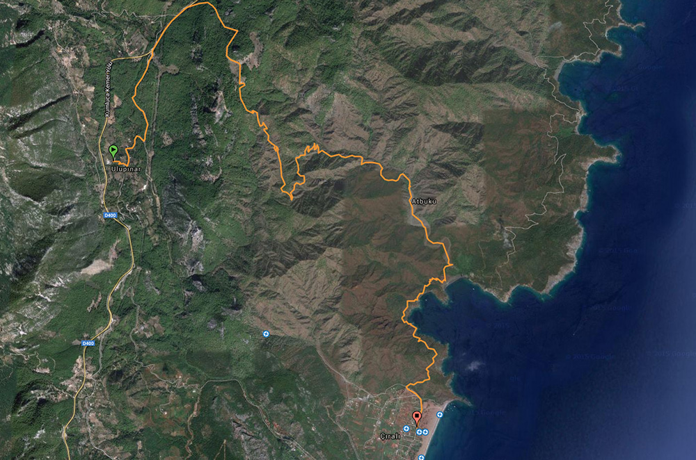
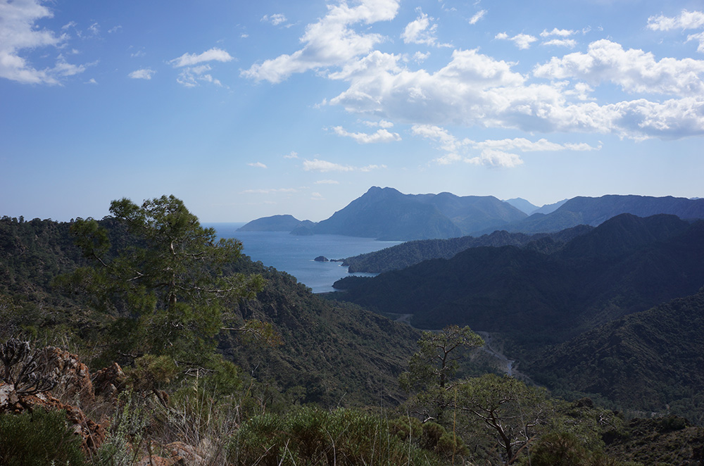
This sector links wooded slopes, rocky terrain and the coast. Official maps separate its branches. A descent toward Çıralı may look simple, but rocky ground, heat and the time of departure change the effort. Confirm access to Yanartaş and the rules in force on your walking date.
For comparison, day 7 of our Antalya–Kekova itinerary walks from Çıralı to the flames of the Chimera and back to Çıralı: 3–4 hours, with 400 m of ascent and 400 m of descent. The previous day, after a short transfer, the stage passes through Maden and Boncuk before reaching Çıralı: 5–6 hours, 300 m up and 760 m down. The first takes less walking time in this programme; the second has more descent. Check trail conditions for both.
Read the return arrangement carefully: day 2 of Chimera–Kekova–Termessos combines the Chimera and Maden with a boat back to Çıralı. It is not a wholly walking circuit. Confirm the connection and the alternative if it cannot run.
Beycik and higher ground
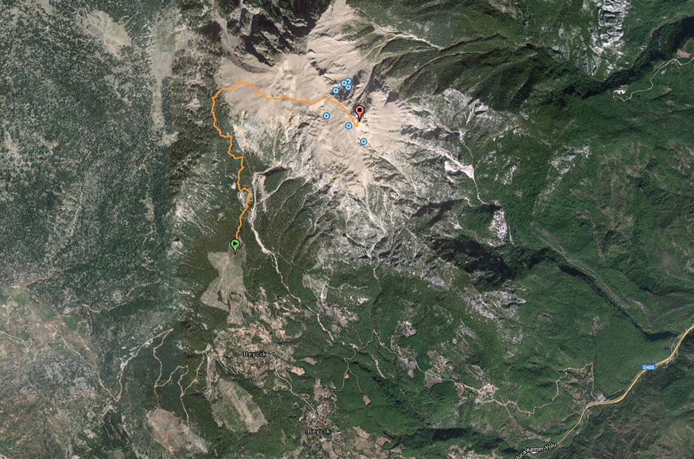
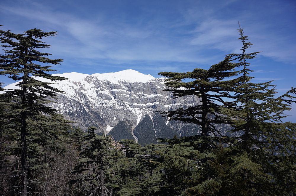
Beycik opens onto more mountainous terrain. Elevation gain, altitude and conditions become more important. Do not add a higher-altitude option to a coastal day as an easy add-on. Verify the turnaround point and transfer before leaving.
Tekirova and Phaselis
The Phaselis sector combines walking with cultural heritage. Confirm current site access with the competent authorities. Allow separate time for the visit. Do not treat old opening hours, prices or services as current information.
Plan a safe day
Choose one main objective. Confirm water availability, the GPS track, an exit option and the transfer arrangements. If heat or pace reduces the margin, use the planned exit. Local notes help, but cross-check them against the official map sheets and conditions on the day.
Place these areas within the wider Lycian Way, then see our trip, the treks and the FAQ.