Understand the range
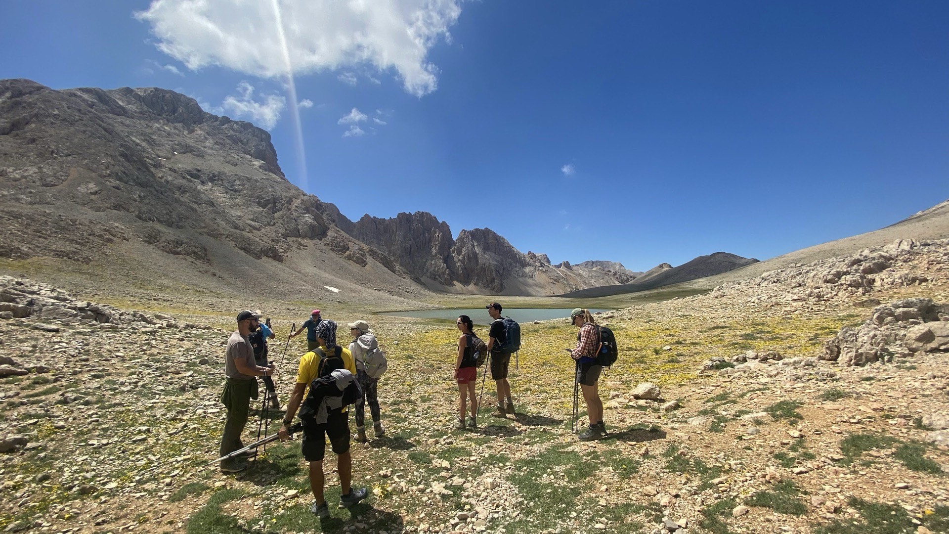
The Kaçkar range combines steep valleys, high pastures, boulder fields and mountain passes. Moisture can make slopes slippery, while cloud can reduce visibility and complicate navigation. Weather data from a town provide regional context but do not describe conditions on a high pass.
To place your trip, distinguish the northern side around Ayder and Kavron from the southern approach through Yaylalar and Olgunlar towards Dilberdüzü, described by KTB. Walking around yaylas, or high pastures, and climbing towards a camp or summit involve different commitments. Choose your objective first, then clarify walking days, transfers and nights in guesthouses or tents. These names are geographical reference points, not directions to follow without preparation.
If you want to explore the landscape without a summit objective, ask for valley and yayla walks suited to your experience. For a traverse or ascent, ask for details of passes, altitude progression and retreat options. Do not assume a campsite marked on a map provides water, meals or equipment.
Prepare every stage
Record ascent, descent, maximum altitude, terrain and the group’s expected walking time. Identify exit routes before moving far from road access. The reliability of waymarking and GPS tracks can vary. Carry an offline map and know how to confirm your position without a signal.
Organise equipment and transport
Use quick-drying layers, reliable rain protection and waterproof storage. Pack weight must remain manageable through repeated climbs. Confirm accommodation, food supplies and the transfer to the trailhead. A yayla road may become slow or unusable when conditions deteriorate.
Change the plan early
Turn back before a pass when visibility, storms, remaining snow or fatigue reduce the safety margin. A lower-valley alternative can preserve a walking day.
To compare mountain regions, see our comparison of treks in Türkiye, the treks and the FAQ.